
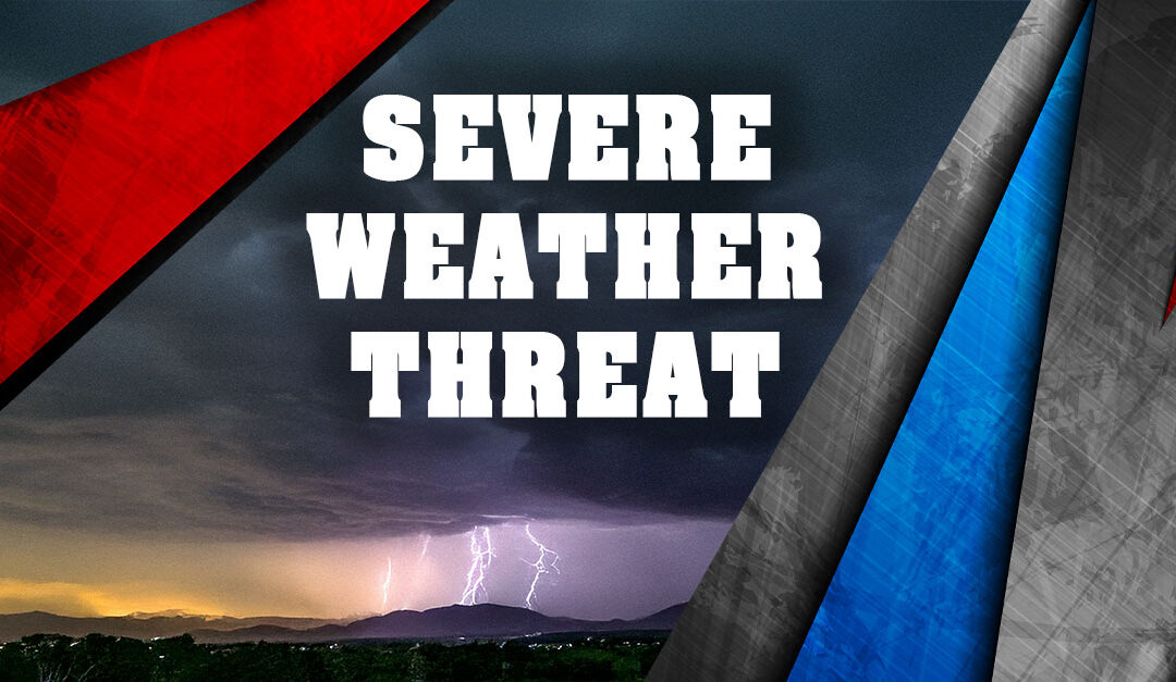
FARMINGTON, MO (Show Me Live) – A potentially dangerous severe weather threat has been advised for Friday (Mar 14th) as the National Weather Service in St. Louis issues a Moderate Risk for the area, along with a Wind Advisory. NWS predicts that strong to severe thunderstorms are expected Friday afternoon and evening with the potential for 80 mph winds, a few strong tornadoes, and golf-ball sized hail.
A line of severe storms will move up to 70 mph east across area on Friday afternoon and evening. The storms will not be over any location for very long, but the main threat is damaging winds of over 70 mph that could produce significant damage. Tornadoes, some possibly strong of EF2 and higher, and large hail, are also possible.
“Confidence is high that thunderstorms will occur Friday afternoon and evening along a front as it moves through the area,” the NWS St. Louis office says. “When exactly these storms will develop remains uncertain. However, storms are expected to be moving at up to 70 mph. Expect the onset and ending of thunderstorms at any given location to be very fast.”
NWS St. Louis predicts the storms will begin in Central Missouri between 4-6 pm on Friday before moving into the Farmington and St. Louis areas between 6-8 pm, and then Cape Girardeau and Illinois after 8 pm.
A Wind Advisory has been issued from Friday at noon through 1 am on Saturday, March 15th. Winds will be sustained between 20 and 30 mph with gusts to 55 mph, blowing unsecured objects and tree limbs. Power outages are possible.
Models from the NWS Paducah office are similar. “We remain quite concerned about the potential for severe thunderstorms including widespread damaging winds and a few tornadoes Friday evening into Friday night. If the risk pans out in line with most of our current guidance and forecasts a broken line of severe thunderstorms is forecast to develop over central Missouri Friday afternoon and evening and then track east into western Kentucky.”
Another round of storms is shown in some of models reforming Saturday morning, mainly over southwest Kentucky. This would be reasonable and conditions would remain highly favorable for severe weather, but it will depend a lot on exactly how the first line of storms behaves, if it develops, etc.
Show Me Live will monitor the situation and break into programming, if necessary.